GSS Research
In the Department of Geography and Spatial Sciences (GSS) our faculty includes dedicated researchers and instructors who are experts in remote sensing, climatology, political ecology, environmental data monitoring and analytics, and more. Each has their own area of research interest, ranging from environmental peacebuilding to ecohydrology, but the department has strengths in the focus areas below, which bring researchers together to investigate complex issues.
GIScience and Environmental Data Analytics
Faculty and students apply skills collecting and analyzing large environmental data sets to understand and address today’s most pressing topics, such as food security, water shortages, climate change impact and environmental health. In the course of their work, they advance the uses of Geographic Information System (GIS) software, contributing not only their own research findings, but also increased capability for the field.
Ecosystem Geography
Our faculty are playing vital roles to improve our knowledge of the interactions between the biosphere-atmosphere-lithosphere in an effort to better understand the effects of climate change and other stressors on terrestrial ecosystems. Some faculty research focuses on forested ecosystems in both natural and urban settings, while other projects encompass water budgets and impacts on a variety of regions, from the American Southwest to India.
Meteorology and Climatology
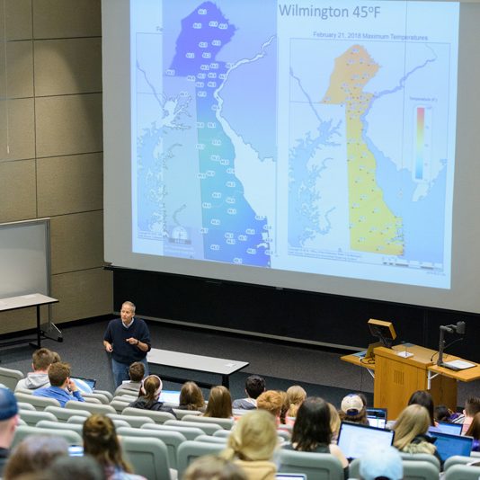
Questions about climate change, and its causes and implications, are among the central environmental questions of our time, and the climatology faculty are providing key answers to these questions. The climatology faculty research land/ocean/ice– atmosphere interactions, and climate dynamics and variability with a particular emphasis on understanding the role of snow and ice in our climate system. The faculty employ a wide range of models, from cloud scale to climate scale, and use environmental observations including surface, upper air, and satellite data, along with state-of-the-art methods of analysis and modeling to study our climate system.
Human Geography
Political Ecology is a branch of geography that studies human activities and the processes that shape their location in space, interactions between human beings and their environment, and the nature of places. It is divided into many sub-fields, such as historical, urban, economic, cultural, social, and political geography. At the University of Delaware, faculty research projects in a number of distinct areas are united by interests in human-environmental relations and fieldwork at home and abroad.
Collaborators
In addition to its own internal research, the Department of Geography and Spatial Sciences works closely with a number of centers and research programs at UD.

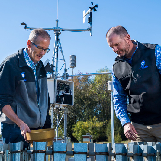
DEOS provides real-time environmental conditions for Delaware and the surrounding region. DEOS operates and maintains over 80 environmental monitoring platforms and brings in data from over 200 additional environmental monitoring platforms throughout our region.
Contact:
Delaware Environmental Observing System
UD College of Earth, Ocean & Environment
102 Pearson Hall
Newark, DE 19716-2541
Phone: 302-831-6906
Fax: 302-831-6654
Email: cema-info@udel.edu
Real- Time Environmental Monitoring Locations:
- Throughout the State of Delaware
- Chester County, PA
- Cecil County, MD
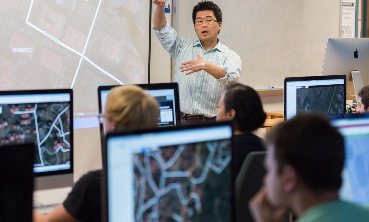
New upgrades to computer rooms in both Pearson Hall in Newark and Cannon Lab in Lewes allow for GIS teaching and research with the most up-to-date machines and software. The two rooms are connected by the college’s ITV system, allowing classes to reach students on both campuses simultaneously.
Newark Location:
Geographic Information Systems (GIS) Lab
Pearson Hall
125 Academy Street
Newark, DE 19716
Lewes Location:
Geographic Information Systems (GIS) Lab
Harry L. Cannon Laboratory
1044 College Drive
Lewes, DE 19958
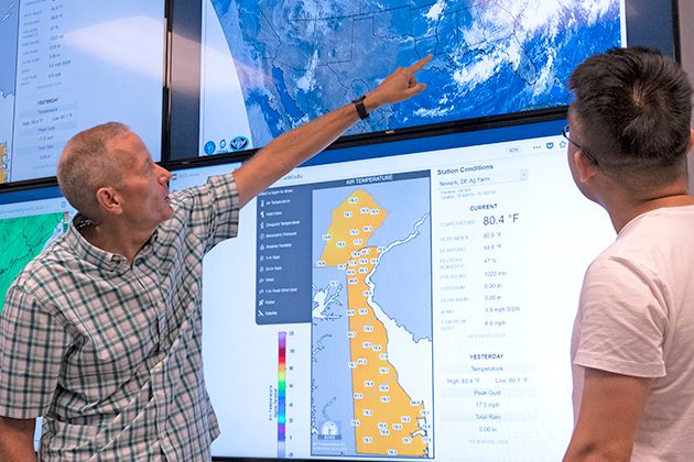
With half a dozen monitors displaying feeds from satellites, radar, real-time monitoring stations on the ground, and other sources, the Meteorology Visualization Lab provides a convenient and impactful space for teaching, forecasting and conducting research. The lab is adjacent to the Office of the Delaware State Climatologist, a faculty member in the Department of Geography and Spatial Sciences.
Meteorology Visualization Lab
Pearson Hall
125 Academy Street
Newark, DE 19716
Lab director: Dan Leathers
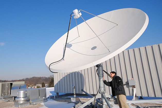
The equipment benefits faculty and others who study changes in the mid-Atlantic environment. The station consists of an X-Band receiver for reception of the MODIS family of satellites which allows for the study of sea-surface temperature, chlorophyll concentrations, land surface temperatures, and vegetation patterns. An L-band receiver allows for the reception of NOAA, MetOP, and Fung-yen satellites to study atmospheric conditions, land surface temperatures, and sea surface temperatures. Read more >
Office Location:
Center for Environmental Monitoring & Analysis (CEMA)
216 Pearson Hall
Newark, DE 19716-2541
Phone: 302-831-2294
Fax: 302-831-6654
Email: udsrs-info@udel.edu
Please feel free to contact us regarding the UD SRS or any of our output products.
SRS Equipment Location:
Willard Hall Education Building (equipment on the roof)
16 West Main Street
Newark, DE 19716

