
Delaware Geological Survey updates state topographic data
May 08, 2019
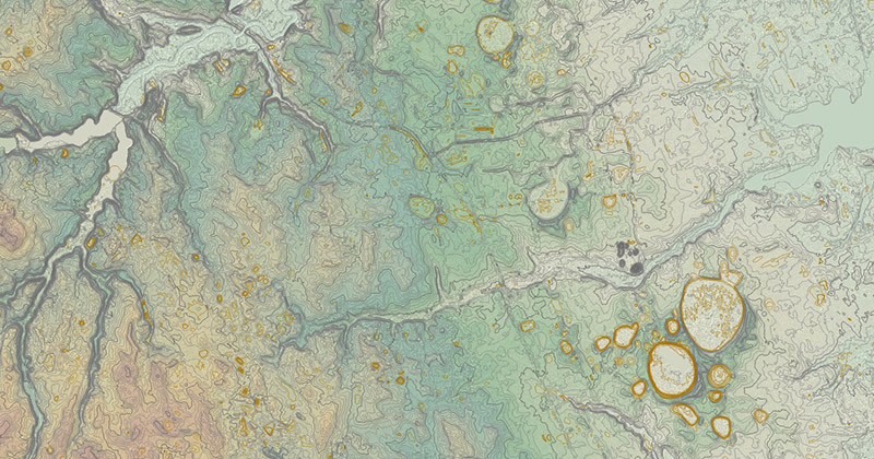
DGS releases new elevation contour data with greater detail
Planners and engineers working in Delaware, along with geoscientists and outdoor recreation enthusiasts, have a new resource that will allow them to plan their work, or play, with much more accuracy thanks to the Delaware Geological Survey (DGS) at UD.
DGS recently released new elevation contour data for the entire state, improving the detail of the information from two-foot contours to one-foot contours, which are lines of equal elevation that depict the shape of the land on a map and form the basis of topographic maps, essential to hikers and highway planners alike.
“This new generation of highly refined contour data is important for a low-elevation state such as Delaware, where they can be used for predicting areas prone to flooding related to coastal storms and sea level rise, as well as for mitigating the impacts from these hazards” said David Wunsch, the Delaware state geologist and director of the DGS.
DGS worked with the Delaware Department of Transportation, Department of Natural Resources and Environmental Control, and the Office of State Planning to gather LiDAR (Light Detection And Radar) data statewide, then conducted computer processing and quality control in cooperation with the U.S. Geological Survey to create the contours.
The elevation contour data are available from the DGS website in GIS-ready format and as map services from Delaware’s FirstMap GIS information and data portal. More information is available on the DGS website, or those interested can contact the DGS at delgeosurvey@udel.edu.
Contact Us
Have a UDaily story idea?
Contact us at ocm@udel.edu
Members of the press
Contact us at mediarelations@udel.edu or visit the Media Relations website