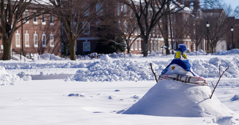


Snow tracker
Photo by Evan Krape January 18, 2024
Delaware Environmental Observing System website offers real-time snow tracking
While large snow events may have been few and far between over the past couple of years, as the recent snowfall has proven, Delaware still has a need for fast, reliable snow data during the winter months.
One such tool, the DEOS Snow Monitoring Network, uses data collected from 26 locations in Delaware to provide real-time snow depth measurements to the State of Delaware in support of the Delaware Department of Transportation (DelDOT) Snow Removal Reimbursement Program.
DEOS, the Delaware Environmental Observing System, is a real-time environmental data provider that has serviced the state of Delaware and surrounding region for the past 20 years. DEOS is part of the Center for Environmental Monitoring and Analysis (CEMA) which is housed in the University of Delaware’s College of Earth, Ocean and Environment.
Snow depth is measured using a sonic ranging depth sensor. Every five minutes, the sensor sends a signal from its base to the surface that is used to determine the depth of a snowpack.
Kevin Brinson, assistant research professor at UD in the Department of Geography and Spatial Sciences as well as the associate state climatologist and director of DEOS, said that having these automated sensors is a big advantage over manual, human snow observations because they can take measurements every five minutes.
“That helps DelDOT with their operational needs because they can see how the snow accumulation rates are happening over time at different locations in the state and they use that data for a variety of needs,” Brinson said. “They can see, over here it’s going up fast and we may need to allocate more resources in that area. It gives them some idea as to which parts of the state are seeing the most snow at a certain time.”
Homeowners and civic associations who participate in the DelDOT Snow Removal Reimbursement Program are also frequent users of the website, as they can see in real-time when the snow accumulates to a certain threshold in their area, allowing them to call in snow-plow drivers and be assured they’ll be partially reimbursed for the snow removal.
In addition to the real-time data, the site also features an archive of past snow events, allowing users to search for previous snowfall events, which is helpful for people who are interested in Delaware’s sporadic snowfalls of the past.
“We wanted to make sure that people could go back and easily access data from the past,” Brinson said. “You can go look at our full archive back to 2009-2010 and you can see the events in each snow season. We have some years, like 2013-14 and 2014-15, where we have 17 events in a season and then last year, we had two events where there was something measurable. That’s the way snow is for the mid-Atlantic region and Delaware especially. We can have some years where we get slammed and then some years where we don’t get a lot at all.”
For another detailed look at snow data and trends in Delaware, check out this story map that was put together by CEMA.
Contact Us
Have a UDaily story idea?
Contact us at ocm@udel.edu
Members of the press
Contact us at 302-831-NEWS or visit the Media Relations website

