




Outsmarting storm surge
November 06, 2026
UD researchers and colleagues train algorithms to improve coastal flood resilience
As hurricanes and flood seasons peak each fall, Delawareans face converging threats from severe storms and rising sea levels, worsened by a changing environment. In response, researchers across the University of Delaware are turning to innovative technologies, including artificial intelligence, to help protect vulnerable communities.
In the Mid-Atlantic, sea levels are rising three times faster than the global average, while land in the Chesapeake Bay is sinking a few millimeters each year, heightening the region’s flood vulnerability. Annual flood damages in Delaware are estimated at $120 million, a figure expected to climb as high-tide flood days become more frequent with each new year.
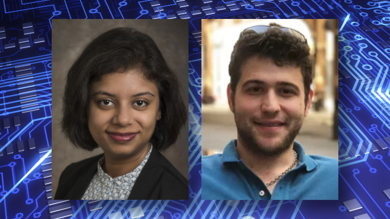
“These flooding events are likely to increase in frequency and will continue to impact our coastal communities if appropriate measures are not in place,” said Pinki Mondal, UD associate professor of geography and spatial sciences.
Mondal explained that one of the most important metrics in predicting and preventing flood damage is what’s known as First Floor Elevation (FFE), the exact height of a building’s lowest living area above ground level. Raising a home’s lowest living area 1 to 2 feet above ground level can reduce flood damage by up to 99%, she said.
Yet approximately 90% of buildings lack FFE measurements. Traditional land surveys to calculate elevation are time-consuming, expensive and labor-intensive, making large-scale assessments hard to achieve. Without this data, cities and insurers can only guess which properties will get flooded in the event of a storm surge.
Now, Mondal and researchers from the University of Rhode Island (URI) are combining their expertise in geography, mathematics and engineering to use human-trained AI to change how we assess flood safety.
Virtual Assessment with AI
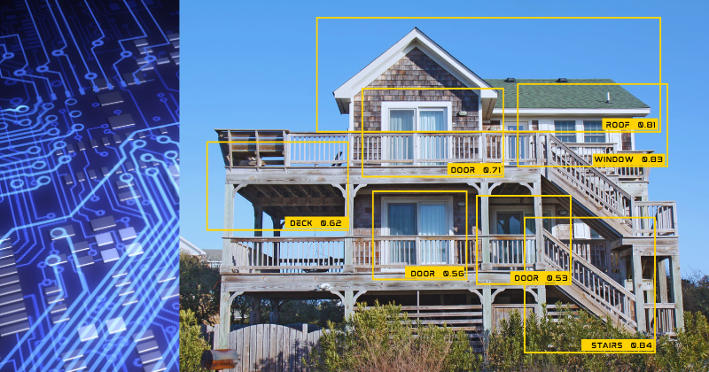
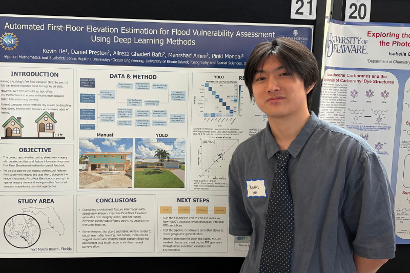
This past summer, Kevin He, an undergraduate student studying applied mathematics and statistics at Johns Hopkins University, interned in Mondal’s lab. At UD, he trained computer vision models using Google Street View photos of homes in Fort Myers, Florida, hand-labeling architectural features such as doors, front steps, garages and windows to teach the algorithm how to identify these structures on its own.
A key part of the research included testing whether this fine-tuned model could outperform an untrained model at detecting features of a home. When He fed unannotated images into both models to measure accuracy, the fine-tuned AI came out on top with training.
Getting the model to detect these features was step one. Since every building feature detected by the AI models helps signify height, the AI-analyzed images were then fed into a second model prompted to calculate the building’s exact FFE measurement.
To verify accuracy, the researchers compared the AI’s elevation estimates with measurements taken from the same homes in previous research surveys conducted by project lead Mehrshad Amini, assistant professor of civil, environmental and ocean engineering at URI.
“We recognized both the value of imagery for large-scale risk assessments and the limitations of manually extracting information from thousands of buildings,” said Amini. “This motivated us to explore AI and machine learning as tools to automate and scale up the process.”
For He, the UD internship provided the opportunity to apply classroom knowledge in mathematics and computer science to a real-world problem. Writing and refining scripts for the vision models proved to be a valuable coding exercise. He also gained valuable experience collaborating across teams and institutions, skills critical to workforce readiness.
“Math has always been something I’ve found really fun, and I really enjoy figuring out signals from noise,” said He. “A lot of real-world data is extremely messy and complex … being able to pick out signals and patterns from it is something I found very satisfying.”
With a working model in place, researchers in Amini’s lab at URI are training the models on additional building types and architectural features, ensuring the tool’s reliability across different geographic regions.
Innovations for coastal protection
Mondal and Amini see great potential for this project to transform regional flood mitigation.
“This AI-based FFE estimation framework can support large-scale flood risk and vulnerability assessments by providing building-level elevation information that is often unavailable or expensive to collect,” Amini said.
This data can be useful to emergency management agencies and insurance companies for improving flood damage predictions, as well as coastal engineers and local governments planning long-term adaptation strategies. Amini sees broader implications for AI in his research, too.
“AI has significant potential in modeling natural hazards by accelerating complex numerical simulations and improving damage predictions,” he said. “Combining AI with physics-based engineering models can help us develop faster, more accurate, and more accessible tools for disaster risk assessment and coastal resilience planning.”
This machine learning framework is among ongoing efforts within the RISCC project (Risks, Impacts, and Strategies for Coastal Communities), overseen by UD’s Delaware Environmental Institute. Led by Leah Palm-Forster, professor of applied economics and statistics, RISCC assembles interdisciplinary teams from Delaware, Rhode Island and South Carolina to explore the effects of changing coastal conditions on flood mitigation, groundwater resources, local economics and policymaking. The goal is to create practical tools and resources that contribute to accurate, practical and scalable solutions that can help coastal towns and leaders adapt to changing conditions, reduce natural hazard risks and improve community resilience.
For Mondal, such a roadmap is essential for Delaware’s future.
“This is a shining example of multiple states working collaboratively towards building climate-resilient coastal communities,” she said.
Contact Us
Have a UDaily story idea?
Contact us at ocm@udel.edu
Members of the press
Contact us at mediarelations@udel.edu or visit the Media Relations website