
Sharp Ship
Photos courtesy of Jon Swallow November 07, 2018
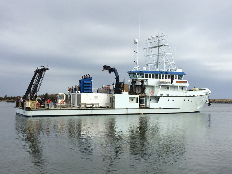
UD’s Hugh R. Sharp research vessel used in diverse studies throughout the Atlantic
When the University of Delaware’s R/V Hugh R. Sharp research vessel docked at the Lewes campus the night of Oct. 7, it marked a much-needed stay in port after a productive time at sea that saw the ship carry crews conducting diverse studies from the bottom of the ocean to the air above it and traveling from southern North Carolina to Nova Scotia, Canada.
Unusual even for universities with marine-focused colleges, UD owns and operates the R/V Sharp as a regional-class vessel in the University-National Oceanographic Laboratory System (UNOLS) fleet, serving researchers from government agencies and universities around the country. The Lewes campus is also the East Coast base for the modular laboratories that UNOLS vessels move on and off to specialize research capabilities based on the needs of a particular research cruise.
The R/V Sharp is a general-purpose vessel, built by Dakota Creek Industries and commissioned into service in 2006. It is capable of supporting a wide range of marine science disciplines including chemical, geological, physical and biological sciences as well as acoustics, fisheries and marine mammal research.
These past few months demonstrated just how capable the ship is when it comes to aiding a variety of research operations.
In August, a United States Geological Survey (USGS) team conducted seismic surveys of the seafloor over a large area traveled by the R/V Sharp. As with all research projects using the ship, the science team focused on its research while the operation of the ship was handled by a UD crew.
The intent of the cruise was to gather new information about the distribution of gas hydrates — which form naturally in seafloor sediments when methane and water combine at moderate pressures and low temperatures — in a sector stretching from New Jersey to North Carolina. According to an article published by the USGS, the data gathered on the gas hydrates will help facilitate studies in areas such as the energy resource potential of gas hydrates and the interaction between hydrates and the environment for years to come.
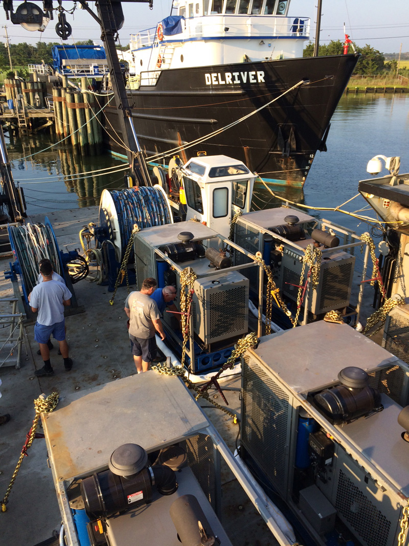
The study was one of the biggest mobilization efforts — when equipment is loaded onto the deck — that Jon Swallow, UD Director of Marine Operations, has seen.
“They brought so much equipment, and a lot of it was heavy. Because you can only load the ship so much, that was pretty impressive,” said Swallow, who added that their type of work is usually handled by much bigger ships. “Larger vessels are more expensive and they wanted to use us. They like us and they like our crew. Our crew is very good. They have a ‘can do’ attitude, and we always get rave reviews about how our crew does so much. We provide great customer service.”
The USGS crew used acoustic energy for imaging seafloor sediments as well as sonobuoys, expendable instruments that receive seismic signals and transmit the information back to the ship, among other pieces of high-tech equipment.
The very next mission used a completely different set of equipment to study a completely different environment, when the R/V Sharp crew took a Navy research team to Canada to study coastal fog development.
“For that cruise, instead of the typical towed or deployed instrumentation, we carried several atmospheric sensors and lidar,” Swallow said. “They also had instruments that sniff in fog and analyze it. They were trying to see how and why fog forms where it does. This was an atmospheric focused survey and these various missions demonstrate the broad capabilities of the Sharp.”
The ship is also used to conduct the northeast scallop survey every year for the National Oceanic and Atmospheric Administration (NOAA), which uses the data to help manage the fishery industry for scallops. For the survey, the ship’s crew uses a combination of towing a high definition habitat imaging camera close to the bottom of the seafloor and trawling.
“At historical stations, we will drop a trawl in the water to scoop up a sample set of scallops and help sort them out. The NOAA team will count them, measure them and see how healthy they are,” said Swallow. “But we’re evolving. We used to do all trawling but have been transitioning more to using the high definition camera rather than trawling. The camera is less impactful to the environment.”
Swallow said that the habitat camera can take thousands of pictures and allows the scientists to analyze the imagery, measure the scallops, see if they are bigger and healthier and how dense the populations are.
The R/V Sharp didn’t stay in port long, as it departed Oct. 16 to research phytoplankton on a mission funded by the National Science Foundation (NSF).
Operating the R/V Sharp is primarily supported by grants from the NSF, the Office of Naval Research and NOAA. The ship is available for UD scientists to use to help further their research. Faculty members interested in using the vessel should contact Swallow at jswallow@udel.edu or (302) 396-8565.
Contact Us
Have a UDaily story idea?
Contact us at ocm@udel.edu
Members of the press
Contact us at mediarelations@udel.edu or visit the Media Relations website