
‘Social Life of Maps’
Photo by Evan Krape April 04, 2018
English professor’s book examines influence of cartography
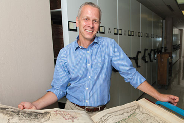
A new book by Martin Brückner, associate professor of English and co-director of the Center for Material Culture Studies at the University of Delaware, examines the often unexpected ways maps have been used in American society.
The Social Life of Maps in America, 1750 - 1860, was published by the Omohundro Institute of Early American History and Culture and the University of North Carolina Press. It “follows popular maps from their points of creation to shops and galleries, schoolrooms and coat pockets, parlors and bookbindings,” the publisher says.
It is the first book of its kind to track American cartography and its rise to unprecedented cultural influence.
Brückner was led to this project first through interactions with maps that were completely un-cartographic. He said encountering maps that were used as display objects that no one could really read because they were so far away or much too large for anyone to actually carry around made him stop and pause.
“In my own past I have worked on maps and relationships to literacy,” he said. “And as I was studying the way in which the language of maps impacted American literature, I kept thinking: So what about the actual maps, right?
“And once you start looking, you realize maps are used everywhere but in ways that has nothing to do with navigation, so that’s how it started.”
The goal of this project was to create a cultural history of map uses, other than the ones most people are familiar with, Brückner said.
As he was trying to understand how popular maps truly were, he said, he found through his research that they were “amazing bestsellers.” He noted that people from all walks of life had access to them, and with this project he was able to flesh out the social history of maps and how people had contact with them.
The book explores different types of maps and the roles they played in society. Many commercial maps were objects designed to be “eye-candy,” Brückner said.
“They were really designed to be these pop-out images with bright watercolors. Hot pinks and lurid yellows, it was a tapestry of colors,” he said. “So for these, it wasn’t so much about [conveying] the information. It was really about this colorful object that happens to have information.”
Brückner has previously published work on the relationship between cartography and early American culture. He is the author of The Geographic Revolution in Early America: Maps, literacy and National Identity.
Contact Us
Have a UDaily story idea?
Contact us at ocm@udel.edu
Members of the press
Contact us at 302-831-NEWS or visit the Media Relations website
ADVERTISEMENT
Resources
Office of Communications & Marketing 105 E. Main St. Newark, DE 19716 ocm@udel.edu Phone: 302-831-2792